For better user experience, please use another browser.
12 Protected Areas
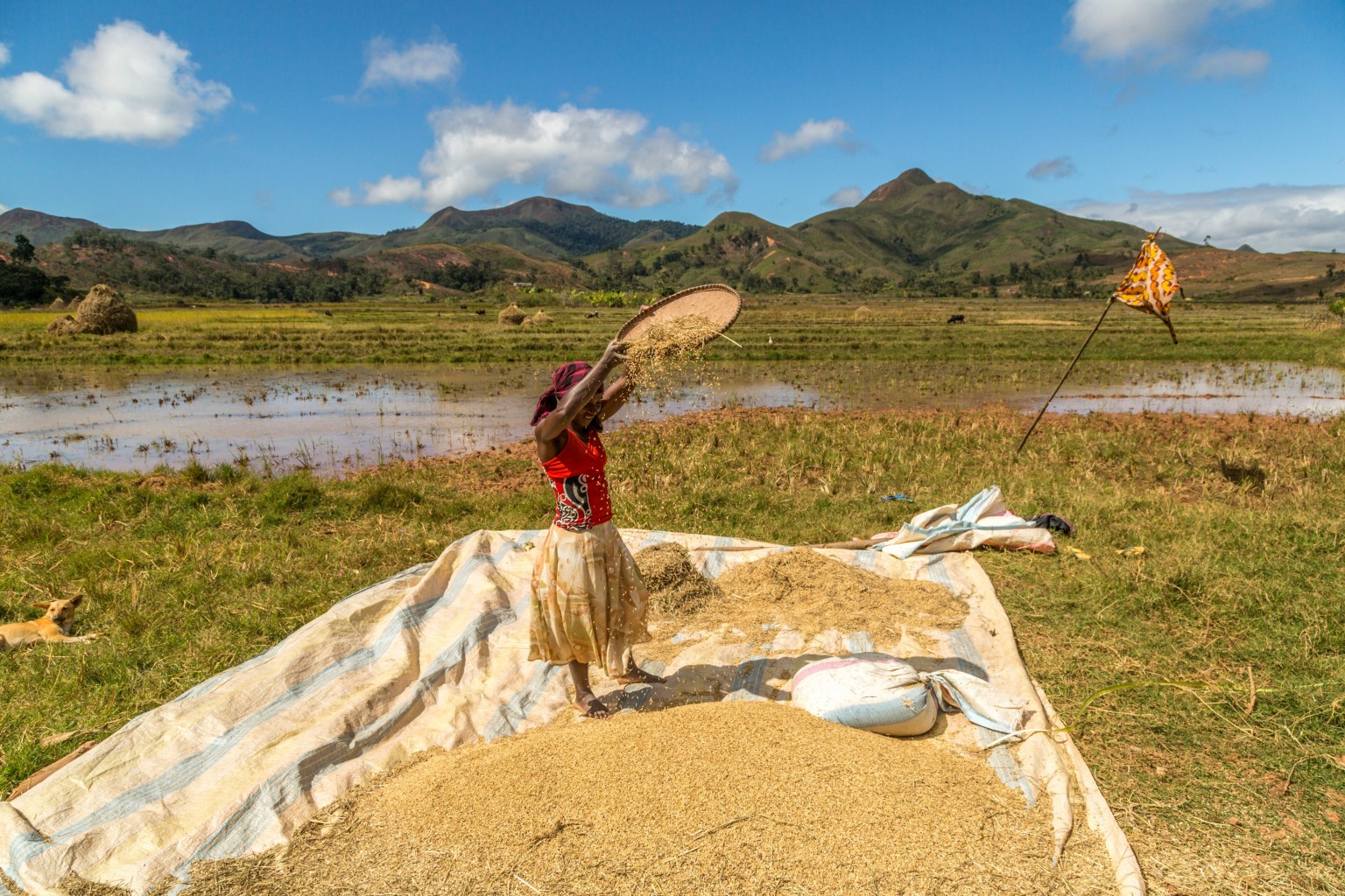
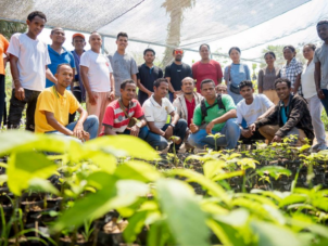
The GPS survey equipment will be used to carry out scheduled, accurate mapping of CCA boundaries and other biodiversity and conservation spatial gaps across Vanuatu. Accurate data collection using the surveying equipment will improve national and provincial government data regarding land use across islands, inform better strategic island-wide environmental assessments, including plan/zone development. Derived information from collected data will also assist the national government to meet international reporting obligations, particularly for the post-2020 Global Biodiversity Framework, which focusses on the percentage of land area under protection to adequately progress towards global biodiversity targets.
All (12) targeted CCAs (registered and pending registration CCAs) will have sign boards installed within the CCAs. The signboards will communicate CCA boundaries, including significant biodiversity information and governing systems. Two sign boards will also be installed in Luganville (urban centre of Santo), to provide general protected area awareness in a high-pedestrian traffic area for the purpose of increasing communication to the public about conservation areas.
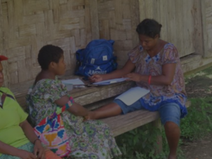
The purchase of a 4WD vehicle for Santo DEPC will help increase the support offered to CCAs by providing more flexible and efficient transport options for the DEPC extension officer in Santo. This will also increase the in-person contact between the DEPC extension officer and communities in protected areas, providing an efficient way to collect community concerns and address community challenges.
Download the project infofiche.
 Medium Grant,
05.07.2020 – 04.07.2021
Medium Grant,
05.07.2020 – 04.07.2021
Pacific
 01.07.2022 – 31.12.2024
Pacific
 Medium Grant,
21.06.2021 – 20.11.2021
Medium Grant,
21.06.2021 – 20.11.2021
Pacific
 Medium Grant,
01.05.2021 – 30.04.2022
Medium Grant,
01.05.2021 – 30.04.2022
Pacific
 Medium Grant,
01.05.2021 – 30.04.2022
Medium Grant,
01.05.2021 – 30.04.2022
Pacific
 Medium Grant,
01.06.2021 – 31.05.2022
Medium Grant,
01.06.2021 – 31.05.2022
Pacific
 Medium Grant,
01.07.2023 – 31.12.2024
Medium Grant,
01.07.2023 – 31.12.2024
Pacific
 15 September 2020 – 14 March 2023
Pacific
 8 February 2021 - 8 February 2022
Pacific
 1 November 2020 - 31 October 2021
Pacific
 1 November 2020 - 31 October 2021
Pacific
 8 February 2021 - 31 January, 2022
Pacific
 8 February 2021 - 7 February, 2022
Pacific